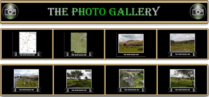
If you drive on the road from Hemsworthy Gate to Cold East Cross you will pass a collection of ruins that literally sit on the verge. Their very location may beg the question as to why any building would be so close to the roadside? William Crossing gives us the answer; “Here we are close to the scanty remains of Newhouse. These consist only of a few low walls marking the site of a dwelling, and some enclosures near it with a dozen weather-beaten thorn bushes. Newhouse was formerly an inn, but did not suffer extinction, as will be readily imagine, in consequence of being kept open during prohibited hours; it was burnt down.”. Although today the road is fairly busy with traffic, especially in the holiday season one may consider that in days gone by there would not be enough passing trade to warrant an inn? But at one time the road was a major link running from Ashburton to Chagford and saw a large amount of wagon traffic. There would have been loads from the Chagford woollen industry going to and fro along with carts laden with if lime going in the opposite direction. Again, Crossing relates how in the mornings the farmer’s men who had been sent to pick up lime from Ashburton would hurtle along this stretch of road at break-neck speed. This was in order to get to the lime kilns as early as possible to avoid being stuck in the long queues that would soon form. If they were successful they knew only too well that the time they saved could then be spent at the Newhouse Inn on the way back before making their expected return to the farms. Apparently it was a common site, at certain times, to see rows of carts lined up along the roadside whilst their drivers were whooping it up in the inn,1990, p.329.
It is thought that the Newhouse Inn was established sometime in the 1700s by the Woodley family who were one-time lords of the manor of Halshanger. Around about this time the Leaman family were the landlords of the inn, when Mr Leaman died in 1822 his wife and son took over the running. When they eventually gave up the next family to be installed was the Foales. It is Mr Foale who was in the Dartmoor Exploration Committee’s opinion that was responsible for the part destruction of the nearby Bronze Age settlement which actually inherited his name and became Foales Arrishes. The next licensee of the Newhouse Inn was a man called Hannaford of which little is known. But by 1876 the Dartmoor literature describes the “ruined wall of Newhouse” when prior to this the inn was burnt down, Rendell, 1995. pp. 14 -15. There are various theories as to why the inn was destroyed, the favourite one being that the wives of the men who drank their were fed up of the household wages being fritter away behind its bar. Another version was that the farmers/ a farmer burnt the inn down because his workers were wasting too much of their salaried time necking back the cider.
The Newhouse Inn was not the first hostelry to stand on this site as previously the place was known as the Culverhouse. A culverhouse is another name for a dovecote and it could have been that one once stood there? Brown, 1998, p.13. There may well be a more plausible explanation as to the inn’s name which lies in the form of a nearby Bronze Age cairn. Many parish and manorial bounds have used prehistoric monuments such as cairns as boundary markers. A prime example of this is the Bronze Age cairn that stands some 500m from the Newhouse ruins and was called Culverhouseburrough in the 1593 bounds of the manor of Buckland-in-the-Moor. In the years between 1683 – 1709 the name reverted to Culver Burrough, Brown, ????. p.18, and from these names comes a real dilemma. Was the boundary marker named Culverhouse because one stood at the inn and did the name revert to Culver Burrough when the inn became known as the Newhouse? Alternatively, did the name Culverhouseburrough derive from another source and the inn then took its name from this?
Normally English Heritage are pretty good at listing monuments in their Pastscape records but something seems amiss with their Newhouse page (see link opposite). Here they simply describe it as the, “ruin of an old house… described as the remains of a moorland steading of unknown date,” and also the fact that the ; “tithe map shows a roofed building.”?


Brown, M. 1998. Dartmoor Field Guides – Vol. 42. Plymouth: Dartmoor Press.
Brown, M. ???? The Bounds of the Commons of Buckland. Plymouth: Dartmoor Press.
Crossing, W. 1990. Crossing’s Guide to Dartmoor. Newton Abbot: Peninsula Press.
Rendell, P. 1995 Old Inns of the Moor – Newhouse – Dartmoor News No.26. The Old Dartmoor Company.
 Legendary Dartmoor The many aspects past and present of Dartmoor

One comment
Pingback: Foale's Arrishes and the Newhouse Inn | Dartmoor Hiking