Legendary Dartmoor The many aspects past and present of Dartmoor

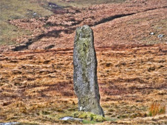
“Here stood Bair Down Man, a lofty menhir that wrote humanity upon the wilderness… those uplifted fragments of unwrought rock that stood where the bygone people worshipped their spirits or buried their dead—were but scratches on earth’s face to tell that here the ” old men ” had intercourse with …
Read More »